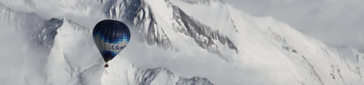
Today several balloonists “went across” – for a long distance flight over the Alps.
Here is one track flown compared to the forecast I did with windy traj with the ECMWF and iconEU models. Note that takeoff was at 0600Z but the forecast was for 0700Z. Most of the flight was around 2800m altitude, so the 3000m/700hPa tracks are the closest match (you can disable the irrelevant altitudes by clicking them away in the top right box).
The track is mostly right between the ECMWF and iconEU forecasts. Also, note the accuracy of speed forecasted – click on some track points and the rings of the forecasts to see the values (click here for full-screen display):
Here’s a shot from the above ride:
