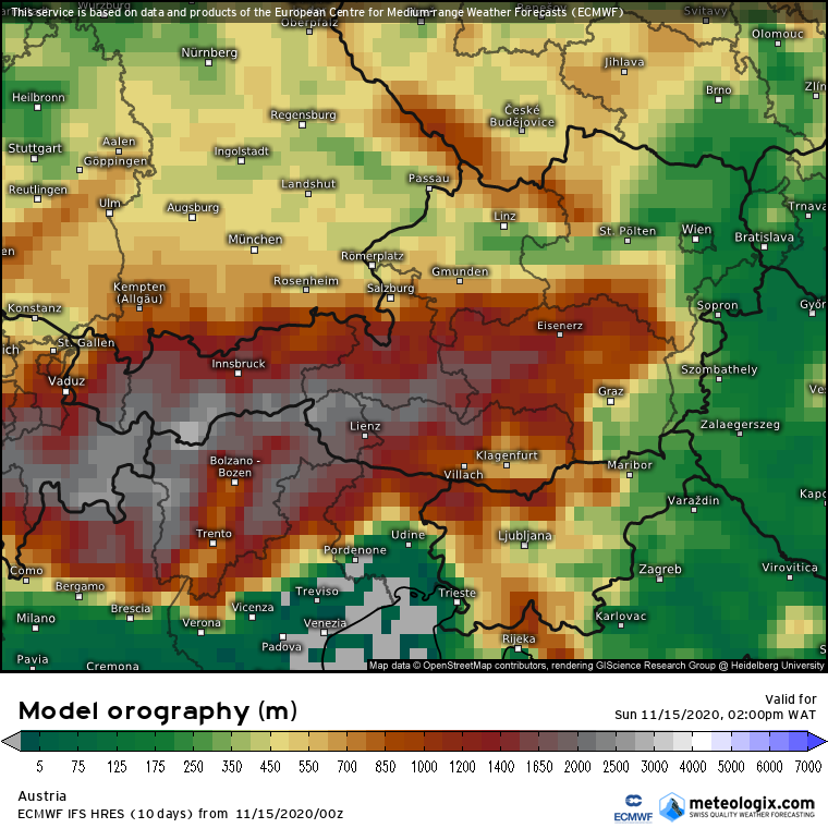
Meteologix has an interesting way to show how finely weather models resolve topography – you can choose a model and a map section, and see how many „model data points” cover that region – click on the navigation arrows below the image to page through different models:
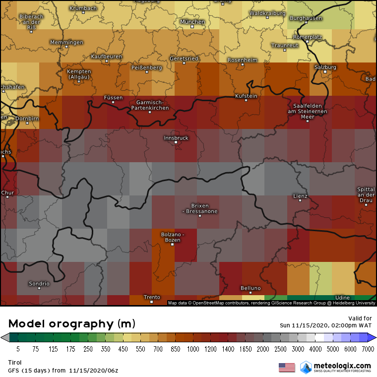
The differences become more apparent by zooming in on a smaller region – here Tyrol and Styria:
So GFS for instance does not even „see” major alpine valleys due to its large forecast point spacing – for that one needs a higher resolution model.
Good reminder to take forecasts with a grain of salt!


